

Rivers are listed alphabetically with photos and map plus other details.
I will gradually update this with stuff from the old website which expired in June 2012
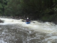
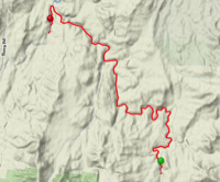
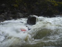
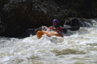
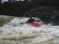
Eucumbene River
MAP GOES HERE
date: 29th Sept 2012
River Height
River Height
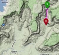
MAP GOES HERE
Date: 2010
Date: March 2012
Date: 4th May 2015
River height: 0.82
Distance : 23.6 km
Time: 7 hours with long lunch
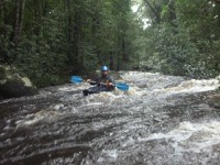
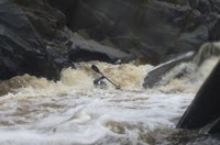
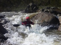
PHOTOS TO COME
River height: 0.82
Distance : 23.6 km
Time: 7 hours with long lunch
PHOTOS TO COME
date: 19th September 2013
River Height: 1.22m (Googong Dam)
Distance: 24km
Time: 4 1/2 hours
Notes: only 2 major rapids, some trees could be hazardous.
River Height: 1.22m (Googong Dam)
Distance: 24km
Time: 4 1/2 hours
Notes: only 2 major rapids, some trees could be hazardous.
date: 30th March 2014
River Height: 1.49m (Hillview near Oallens Ford)
Distance: 25km
Time: 7 hours plus walk out
Notes: very steep walk out, 300m climb over 2km.
River Height: 1.49m (Hillview near Oallens Ford)
Distance: 25km
Time: 7 hours plus walk out
Notes: very steep walk out, 300m climb over 2km.
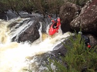
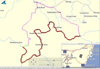
Snowy River:
Bungarby Gorge
Bungarby Gorge
MAP GOES HERE
Date: 23rd Sept 2012
River height:
River height:
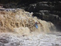
Snowy River:
Jindabyne Dam to Micro Brewery
Jindabyne Dam to Micro Brewery
MAP GOES HERE
Date: 22nd Sept 2012
River height:
River height:
Yarrangobilly River
MAP GOES HERE
Date: 30th Sept 2012
River height:
River height:
MAP GOES HERE
Date: 2nd May 2015
River height: 1.25
Distance: 12.4 km
Took : 4 hr 40min
4 or 5 portages
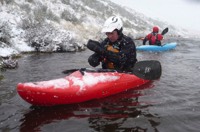
PHOTOS TO COME
River height: 1.25
Distance: 12.4 km
Took : 4 hr 40min
4 or 5 portages
PHOTOS TO COME