

Thredbo R: village to Diggings camp
30/09/14 02:48 Filed in: Thredbo River
- RIVER:……..….Thredbo River
- PUT IN:……..….Thredbo Village, above bridge in
- TAKE OUT:…….Thredbo Diggings camp or after fall
- RIVER HEIGHT:…..0.54 metres (gauge at start)
- DISTANCE:…..……?? km
- TIME TAKEN: ……..2 hours 30 minutes
- MOVING TIME:……? hours ? minutes
- PHOTOS:………….
- GPS MAP:…………..
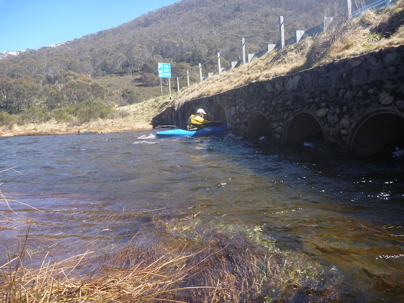
We left the start about 10am.
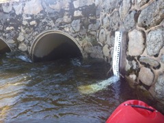
The gauge showing 0.54m right next to the pipe bridge at the start.
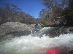
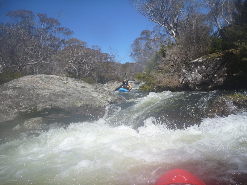
Mic C paddling down a typical rapid.
We certainly wouldn't have wanted any less water, probably close to minimum acceptable.
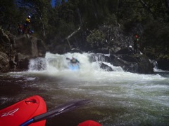
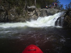
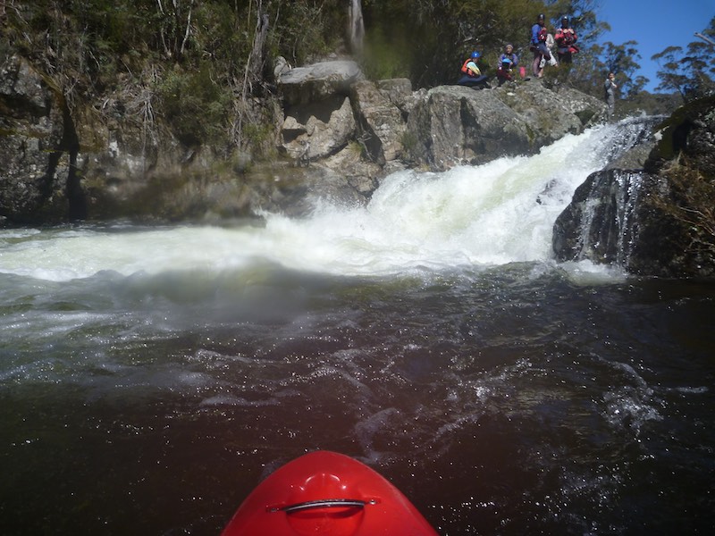
A few shots of the fall just after "Thredbo Diggings Campsite". By doing this there is quite a long and scrubby hike out back to the camp. I think only Jiri and I did the falls from our group. Quite a few of the Canberra guys shot the falls.
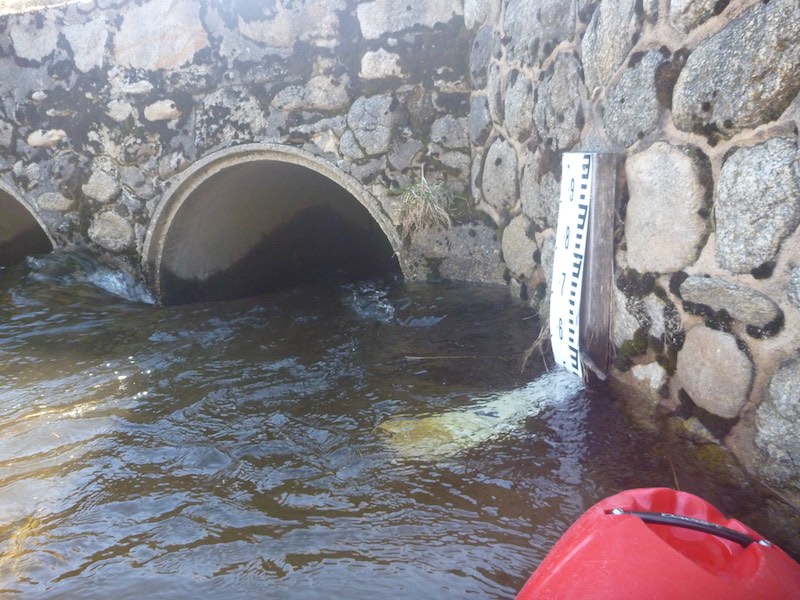
The gauge showing 0.54m right next to the pipe bridge at the start.
Mic C paddling down a typical rapid.
We certainly wouldn't have wanted any less water, probably close to minimum acceptable.
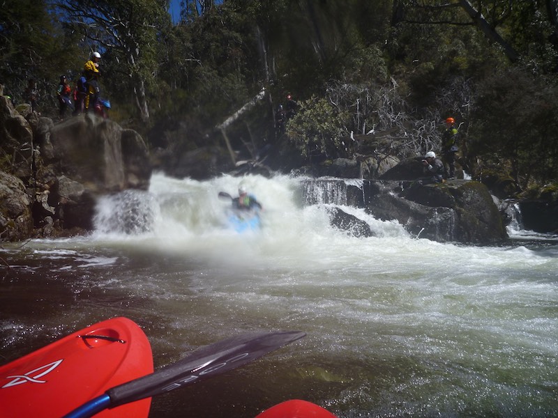
A few shots of the fall just after "Thredbo Diggings Campsite". By doing this there is quite a long and scrubby hike out back to the camp. I think only Jiri and I did the falls from our group. Quite a few of the Canberra guys shot the falls.